Geographic information system
Geographic information system
Different Solutions we offer
1. GIS in Mapping: Mapping is a central function of Geographic Information System, which provides a visual interpretation of data. GIS store data in database and then represent it visually in a mapped format.
2. Telecom and Network services: GIS can be a great planning and decision making tool for telecom industries. GDi GISDATAenables wireless telecommunication organizations to incorporate geographic data in to the complex network design, planning, optimization, maintenance and activities.
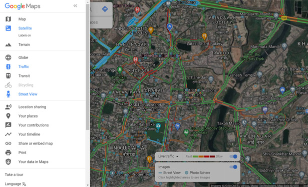
3. Urban Planning: GIS technology is used to analyse the urban growth and its direction of expansion, and to find suitable sites for further urban development.
4. Transportation Planning: GIS can be used in managing transportation and logistical problems. If transport department is planning for a new railway or a road route then this can be performed by adding environmental and topographical data into the GIS platform.
5. Agricultural Applications: GIS can be used to create more effective and efficient farming techniques. It can also analyse soil data and to determine: what are the best crop to plant? Where they should go? How to maintain nutrition levels to best benefit crop to plant? It is fully integrated and widely accepted for helping government agencies to manage programs that support farmers and protect the environment. This could increase food production in different parts of the world so the world food crisis could be avoided.
6. Determine land use/land cover changes: Land cover means the feature that is covering the barren surface .Land use means the area in the surface utilized for particular use. The role of GIS technology in land use and land cover applications is that we can determine land use/land cover changes in the different areas. Also it can detect and estimate the changes in the land use/ land cover pattern within time. It enables to find out sudden changes in land use and land cover either by natural forces or by other activities like deforestation.
7. GIS Solutions in Banking Sector: Today rapid development occurs in the banking sector. So it has become more market driven and market responsive. The success of this sector largely depends on the ability of a bank to provide customer and market driven services. GIS plays an important role providing planning, organizing and decision making.
8. GIS based Digital Taxation: In Local Governments, GIS is used to solve taxation problems. It is used to maximize the government income. For example, for engineering, building permits, city development and other municipal needs, GIS is used. Often the data collected and used by one agency or department can be used by another.
9. Assets Management and Maintenance: GIS helps organizations to gain efficiency even in the face of finite resources and the need to hold down the cost. Knowing the population at risk enables planners to determine where to allocate and locate resources more effectively. Operations and maintenance staff can deploy enterprise and mobile workforce. GIS build mobile applications that provide timely information in the field faster and more accurate work order processing.
10. GIS for Planning and Community Development: GIS helps us to better understand our world so we can meet global challenges. Today GIS technology is advancing rapidly, providing many new capabilities and innovations in planning. By applying known part of science and GIS to solve unknown part, that helps to enhance the quality of life and achieve a better future. Creating and applying GIS tools and knowledge allow us integrating geographic intelligence into how we think and behave.
11. GIS in Dairy Industry: Geographic Information System is used in a various application in the dairy industry, such as distribution of products, production rate, location of shops and their selling rate. These can be monitored by using GIS system. It can be also possible to understand the demand of milk and milk products in different region. GIS can prove to be effective tool for planning and decision making for any dairy industry. These advantages has added new vistas in the field of dairy farm and management.
12. Tourism Information System: GIS provides a valuable toolbox of techniques and technologies of wide applicability to the achievement of sustainable tourism development. This provide an ideal platform tools required to generate a better understanding, and can serve the needs of tourists. They will get all the information on click, measure distance, find hotels, restaurant and even navigate to their respective links. Information plays a vital role to tourists in planning their travel from one place to another, and success of tourism industry. This can bring many advantages for both tourist and tourism department.
13. Energy Use Tracking and Planning: GIS is a valuable tool that helps in the planning organizing and subsequent growth in the energy and utilities industries. The effective management of energy systems is a complex challenge. GIS has enormous potential for planning, design and maintenance of facility. Also it provide improved services and that too cost effectively.
14. GIS for Business: GIS is also used for managing business information based on its location. GIS can keep a track of where the customers are located, site business, target marketing campaigns, and optimize sales territories and model retail spending patterns. Such an added advantage is provided by the GIS to enhance in making companies more competitive and successful.
15. Utilities: The GIS is used for different type of utilities like electricity, telecom and cooking gas on a daily basis and utilities to help them in mapping, in inventory systems, track maintenance, monitor regulatory compliance or model distribution analysis, transformer analysis and load analysis.
16. School Student Walking Distance Analysis: If your community buses students to school, but only if they lived beyond a certain distance from their school, this can be used to determine what addresses are eligible for busing.
17. Locating Underground Pipes and Cables: Pipe line and cable location is essential for leak detection. It can be used to understand your water network, conducting repairs and adjustments, locating leaks known distance for correlating etc. Pipelines are continually monitored, check for leak detection and avoid the problem of geo hazards.